Workforce Development
Explore the gallery of tools, data, and resources below to learn more about the workforce development landscape in Missouri.
Tools
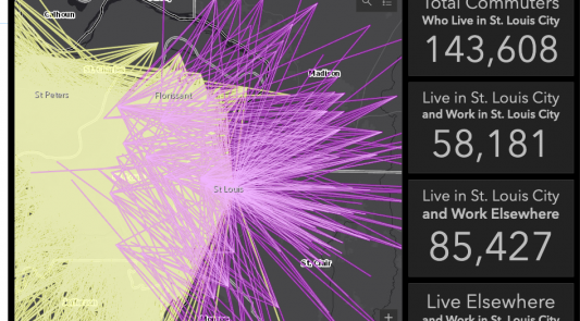
Workforce Development Story Map
This story map explores four factors affecting workforce development across Missouri: population change, commuting impacts, workforce training, and skills mismatch. Use this story map to explore workforce gaps, opportunities, and partnerships.
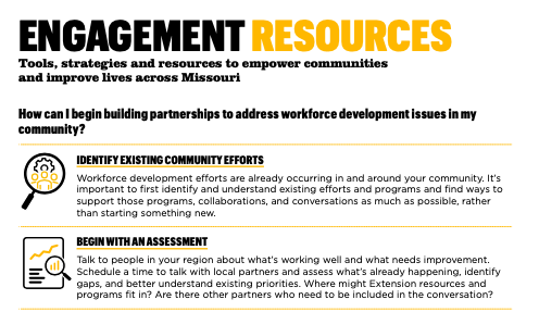
Engagement Resource Guide
Use the Workforce Development Engagement Guide to get started identifying partners, joining local conversations, and building on existing programs.
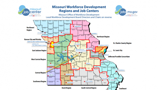
Understanding Missouri’s Workforce System
Authored by Rob Russell, Director of Labor and Workforce Development at University of Missouri Extension, this quick-read guide provides an overview of the major workforce development actors and programs in Missouri.
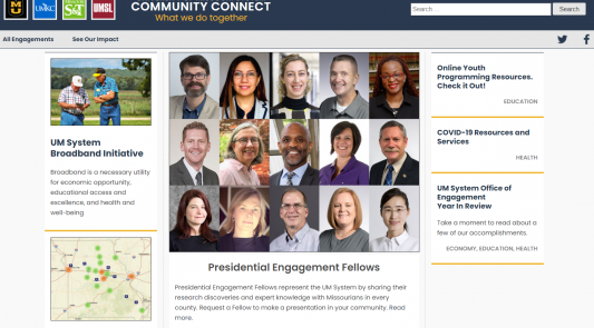
University of Missouri System Community Connect
The University of Missouri System Community Connect website provides a space to showcase engagements between the Universities and their communities.

Economic Snapshot
Economic snapshot allows you to build a report around counties of your choice with a set of basic economic indicators.

Labor Education Program & Workforce Navigator Series
Connect with labor and workforce experts, learn more about the Labor Education Program, and sign up for the Workforce Navigator Series.
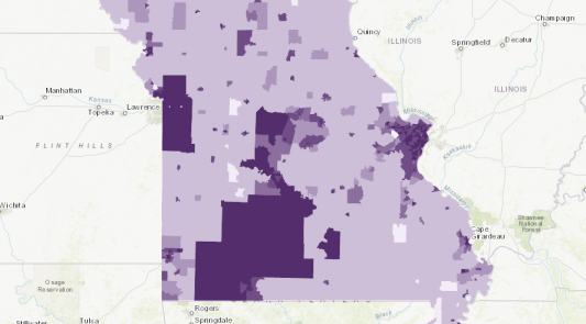
Broadband Access Story Map
There is wide inequity in access to broadband internet across the state of Missouri. Rural areas in particular lack sufficient infrastructure to supply high-speed internet to residents as well as the business community.
Maps
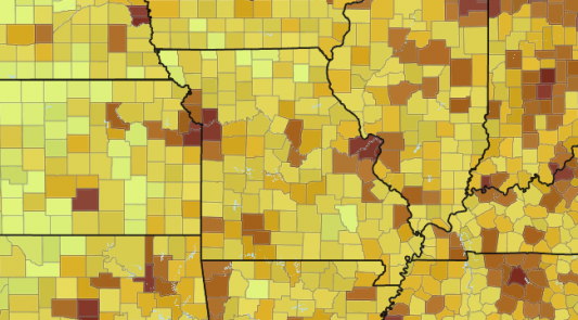
Is the population in my region growing?
TOTAL POPULATION: Use this map to explore population, basic demographics, and migration.
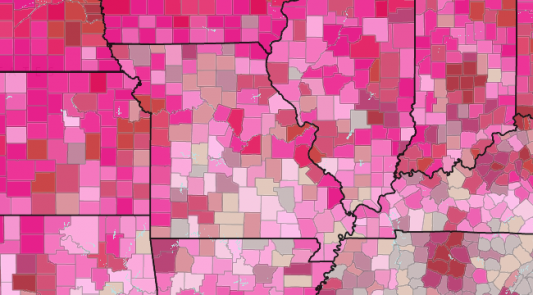
How engaged is the labor force in my region?
LABOR FORCE PARTICIPATION: View current labor force participation rates and rates of change over the most recent five-year period.
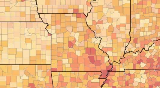
What skills are needed in my region?
EDUCATIONAL ATTAINMENT: Explore sub-county levels of educational attainment. See areas where increases in high school graduation and post-secondary degrees are needed.
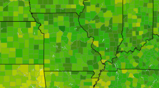
Who lives in my region?
RACE & ETHNICITY: Use this map to view selected racial and ethnic populations at a sub-county level.
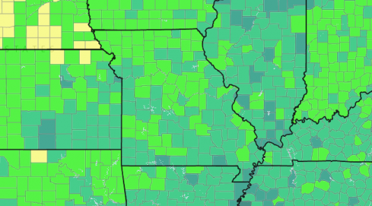
What does unemployment look like in my county?
UNEMPLOYMENT: Layers in this map show current and historical averages for unemployment across the state.
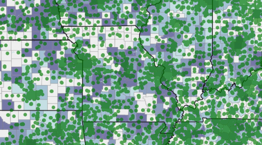
Do workers in my area have access to childcare services?
CHILDCARE: View areas with gaps in childcare availability and affordability – also known as childcare deserts.
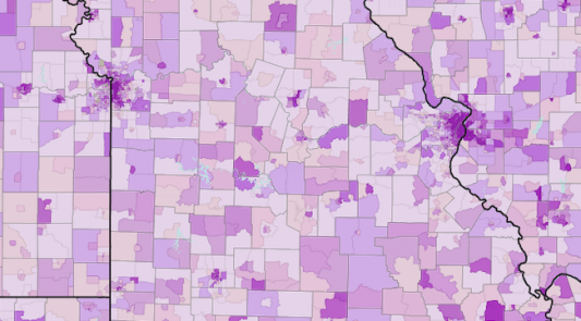
Do workers in my area have access to transportation?
TRANSPORTATION: Use this map to view areas where access to public transportation and personal vehicles are low and supports may be needed.
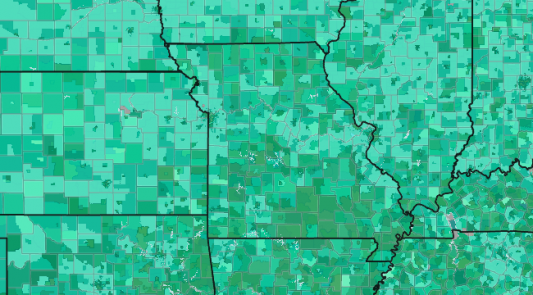
What is the distribution of poverty and income in my area?
POVERTY & INCOME: View rates of poverty and average household income.
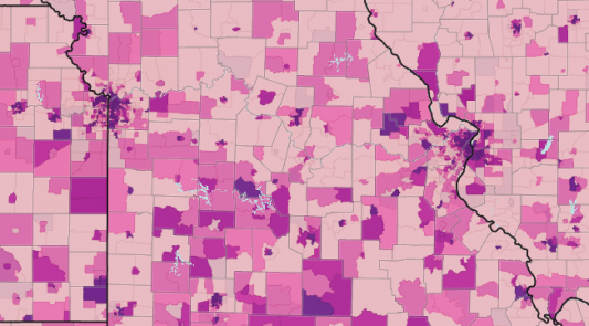
Are there affordable housing options for workers in my area?
HOUSING: Explore housing affordability, conditions, and proximity to employers.
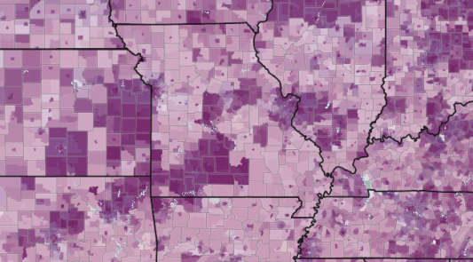
Is broadband access available to businesses and job seekers in my region?
INTERNET ACCESS: Internet access is critical for businesses to operate and for job seekers to get connected to opportunities. Use this map to explore broadband access in your region.
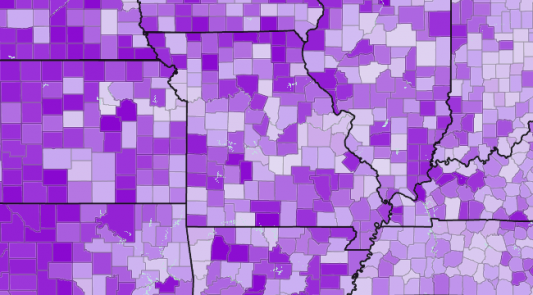
What are the major industries and/or top employers in my area?
INDUSTRY: View rates of employment by sector. Explore top industries in your county and region.
Reports
Business & Community Report
This report provides a selected set of indicators related to businesses and communities. Maps and data are available for individual counties and groups of counties.
