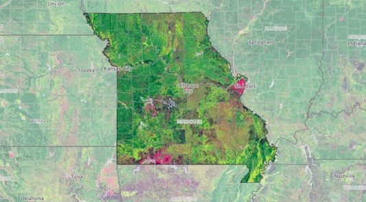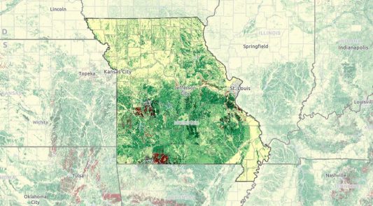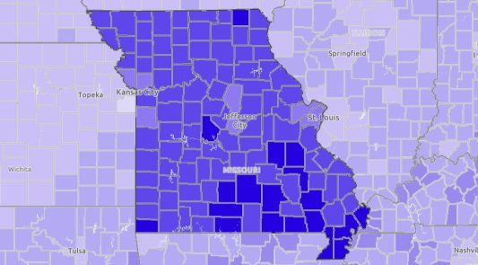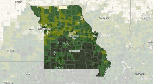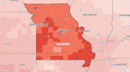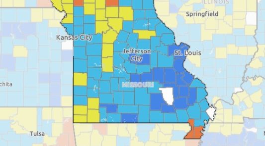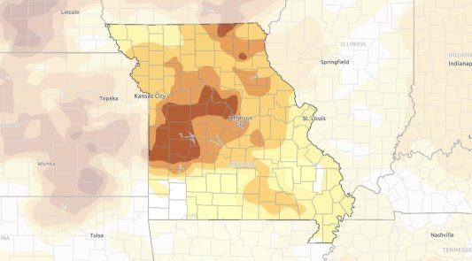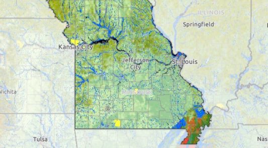

New Missouri Map Room
You’re invited to explore the Beta Version of our New Missouri Map Room and provide feedback. Find the same data you love, in a new user-focused format.
in:
Agriculture & Environment,
Business & Community,
Health & Safety,
Youth & Family